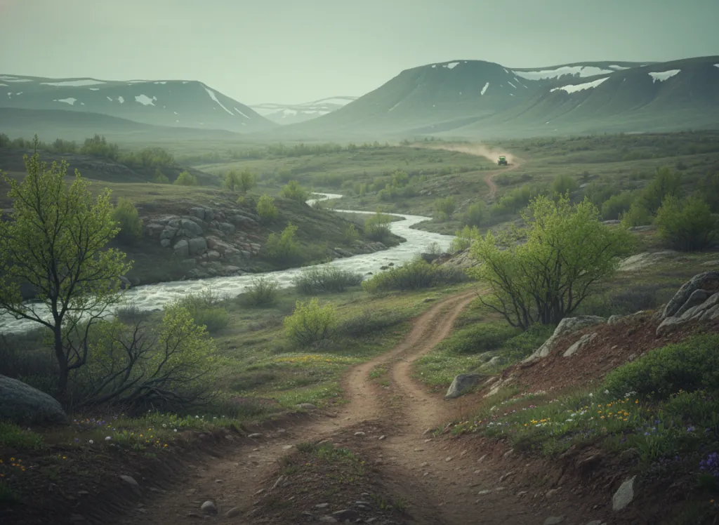
The Okanogan-Wenatchee National Forest encompasses 4 million acres of north-central Washington, the largest national forest in Washington and one of the largest in the Pacific Northwest, stretching from the Methow Valley and Okanogan Highlands in the north to the Stuart Range and Wenatchee Mountains in the south, covering the entire east slope of the northern Cascades from the Canadian border to I-90. The OHV trail system operates on designated routes across the forest's eight ranger districts, with the Methow Valley, Okanogan, and Entiat districts providing the primary riding terrain accessible from the Twisp, Okanogan, and Chelan gateways on the east Cascade approach. The Methow Valley (the broad, glacially excavated valley of the Methow River between the North Cascades and the Columbia Plateau), is the scenic and recreational core of the northern forest: a dry-side Cascade valley with a distinctly different character from the wet west slope, ponderosa pine and bunchgrass parklands in the valley bottoms giving way to lodgepole pine and subalpine fir on the higher Cascade terrain. The Okanogan Highlands north of the Columbia Plateau provide a second distinct riding zone: the rolling plateau country of the Similkameen and Okanogan drainages on the Canadian border margin, more open and less forested than the Methow and with excellent ridge-top visibility across the Columbia Basin to the east. The Entiat Mountains and Chelan Mountains in the forest's southern reach complete the riding geography, with the Entiat River corridor providing access to the high Cascade terrain above Lake Chelan. Washington Discover Pass required at developed trailheads; Washington OHV permit required on designated routes. Okanogan Ranger District (509-826-3275) manages the northern district trail network.
Hours
Accessible approximately June through October; Methow and Okanogan Highlands routes close under snow. No day-use fee. Washington Discover Pass required at trailheads.
Phone
509-826-3275Trip openings, seasonal updates, and the occasional deal, straight to your inbox.
FAQ
Everything you need to know before you get started.
Have a question, or ready to book? Reach out and we’ll get right back to you.